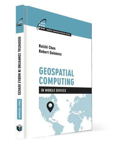
Geospatial Computing in Mobile Devices
by Ruizhi Chen, Robert E. Guinness
mobile computinggeospatial computingGISMobile computingMobile geographic information systems
0.0
Open LibraryAbout this book
Geospatial computing includes utilizing computing devices and sensors to acquire, process, analyze, manage, and visualize geospatial data, which users can then interact with via a large variety of smart geospatial applications. Geospatial computing is a computationally-demanding task, in terms of computation power, data storage capacity, and memory space. Therefore, it has primarily been performed on non-mobile computers. Recent developments allow mobile devices to meet many of the demanding requirements for geospatial computing. This book addresses the topic of geospatial computing in mobile devices, including positioning, mobile Geographic Information Systems (GIS) and smart mobile applications. You are provided with aspects related to positioning methods, as well as solutions for geospatial data acquisition, processing, and visualization. This resource also covers various aspects of the application technologies, such as context detection and context intelligence.
Themes & subjects
mobile computinggeospatial computingGISMobile computingMobile geographic information systems
About the authors
Ruizhi Chen
1963

Robert E. Guinness
1981
Robert E. Guinness is a researcher in the Department of Navigation and Positioning at the Finnish Geodetic Institute, where he explores contextual reasoning in mobile computing platforms. Earlier, he was a researcher at Laurea University of Applied Sciences in Espoo, Finland, where he contributed to R&D related to GNSS and unmanned aerial vehicles. Mr. Guinness holds a B.A. in physics from Washington University in St. Louis and a Master of Science in Space Studies from the International Space University in Strasbourg, France. He is currently also a doctoral candidate in the Department of Pervasive Computing at Tampere University of Technology in Finland. Prior to moving to Finland in…
Reviews
No reviews yet — be the first to write one from the Log screen.
Quotes
No quotes yet.